27/07/2026
New online resource launched for Denbighshire coastal flood gates
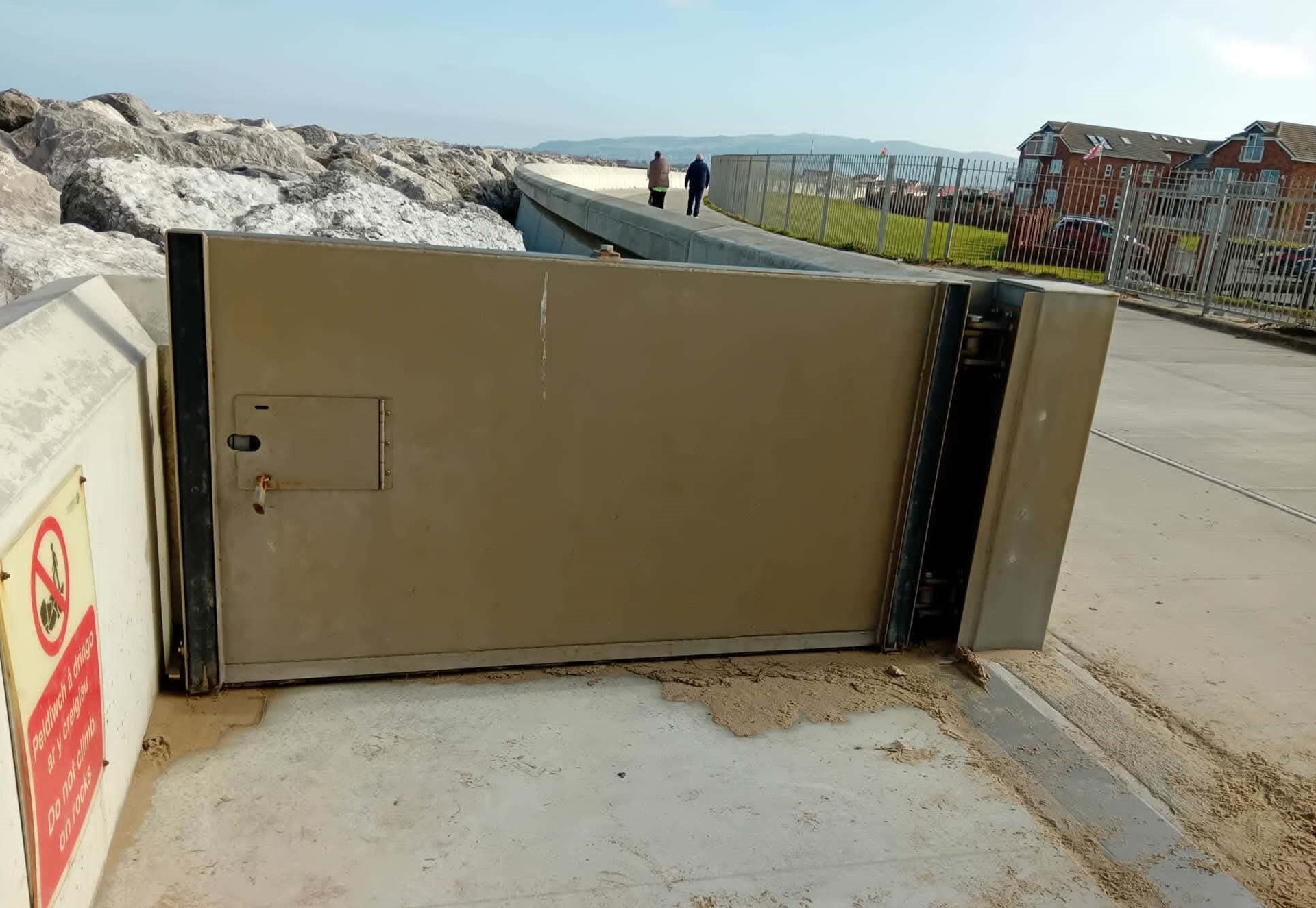
A new online resource has been launched to provide information on Denbighshire’s coastal flood gate system.
The council’s Flood Risk and Web teams have put together a new online resource to help residents and visitors understand how the flood gate system operates from Rhyl to Prestatyn.
This area has been developed to help those who access the promenade for walking and exercise between the two towns to allow them to find out when some gates might be closed.
The online resource provides information about the role of the flood gates, how they are operated, when some are shut due to weather and storm risks and a map of all the gate locations.
Coastal flood gates along the Prestatyn and Rhyl defence scheme are used to seal the areas of the sea defences that are lower to allow for public access to our beaches.
The gates act as temporary, movable shields that are designed to block the flow of water from storm surges, high tides and flood waters from impacting on vulnerable coastal homes, businesses and infrastructure which lie behind the wider flood defence.
Cllr Barry Mellor, Denbighshire County Council’s Lead Member for Environment and Transport, said: “This new online resource will help people better understand how our coastal flood gate system works and why gates may need to be closed during periods of severe weather or higher flood risk. It brings key information together in one place, supporting our residents and visitors to plan ahead for walking along this area while helping us continue to protect coastal communities.”
Visit the new online resource here https://www.denbighshire.gov.uk/en/community-and-living/coastal-defence/flood-gates.aspx
New signage is also set to be rolled out to better highlight the Council’s coastal flood gate system.